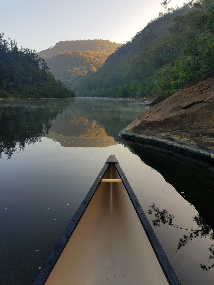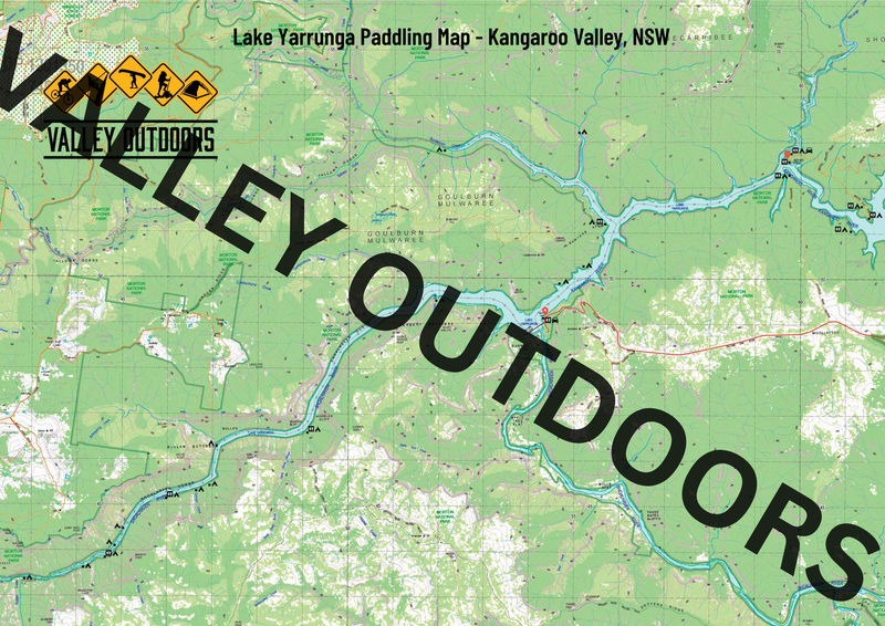
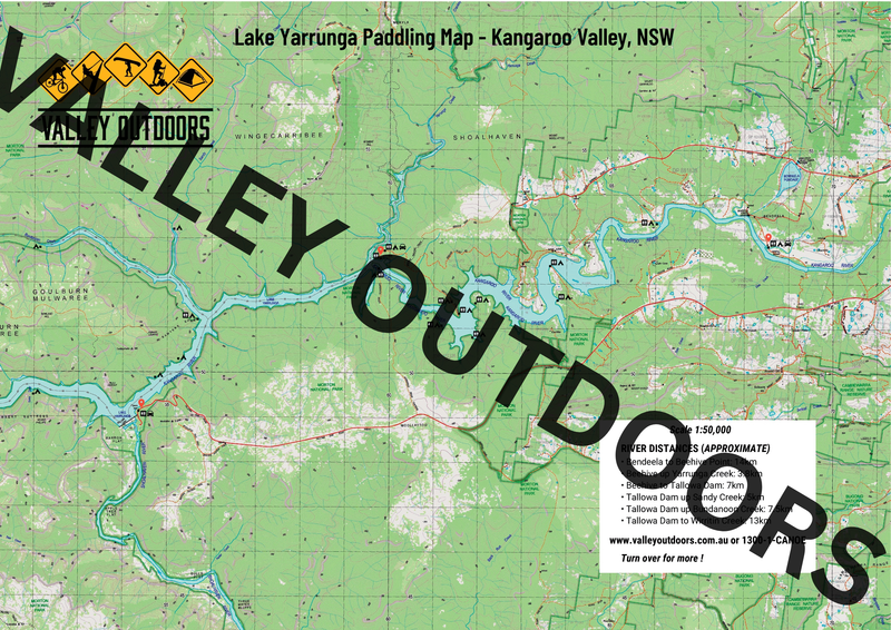
A custom made topographic map made specifically for paddling the Lake Yarrunga waterways. It is double-sided.
This map provides river distances from Bendeela to Beehive Point, Beehive up Yarrunga Creek, Beehive to Tallowa Dam, Tallowa Dam up Sandy Creek, Tallowa Dam up Bundanoon Creek and Tallowa Dam to Wirritin.
Scale is 1:50,000.